The Golden Waterway
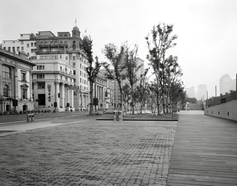
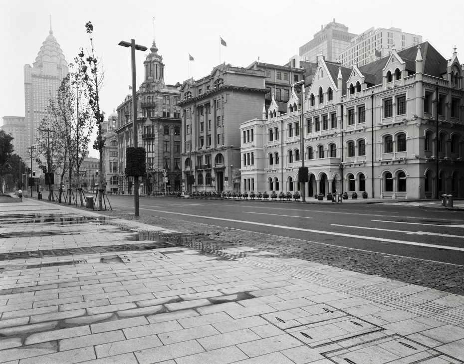
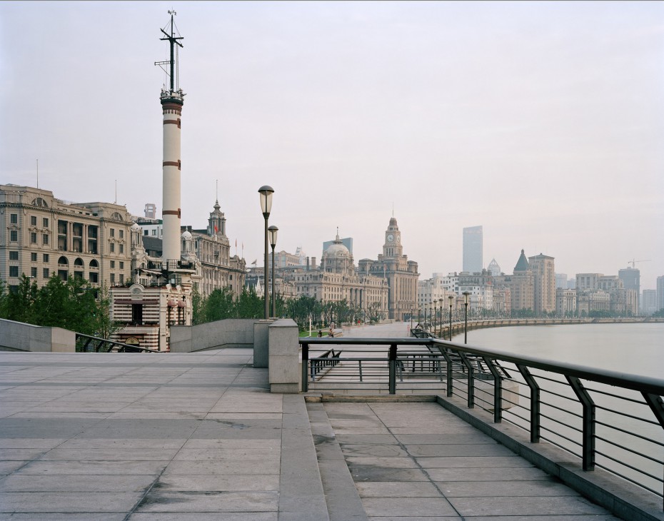
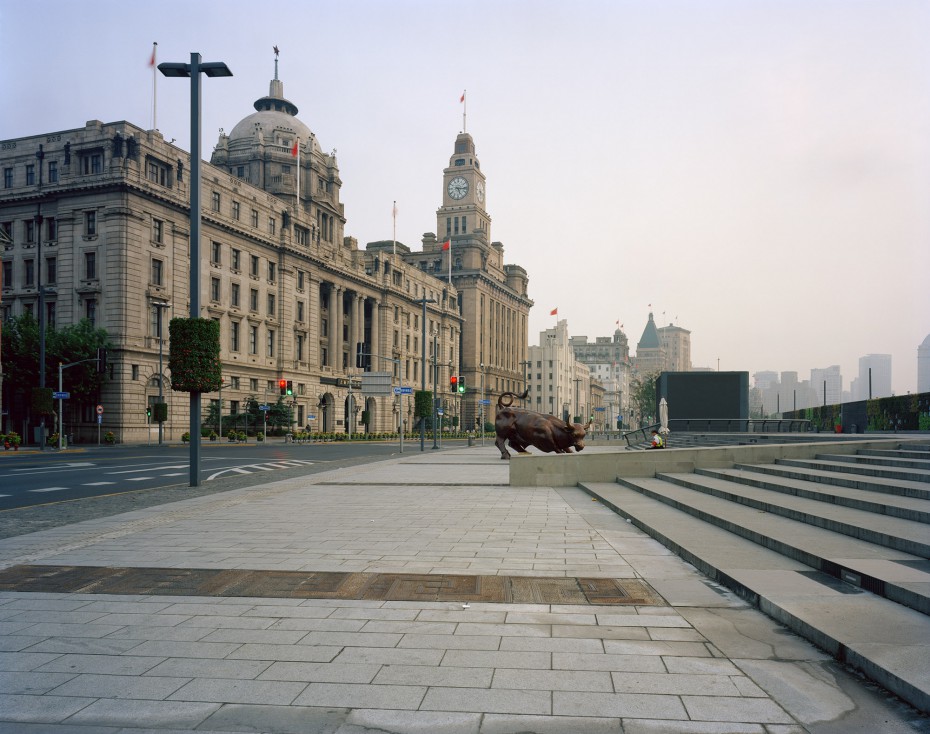
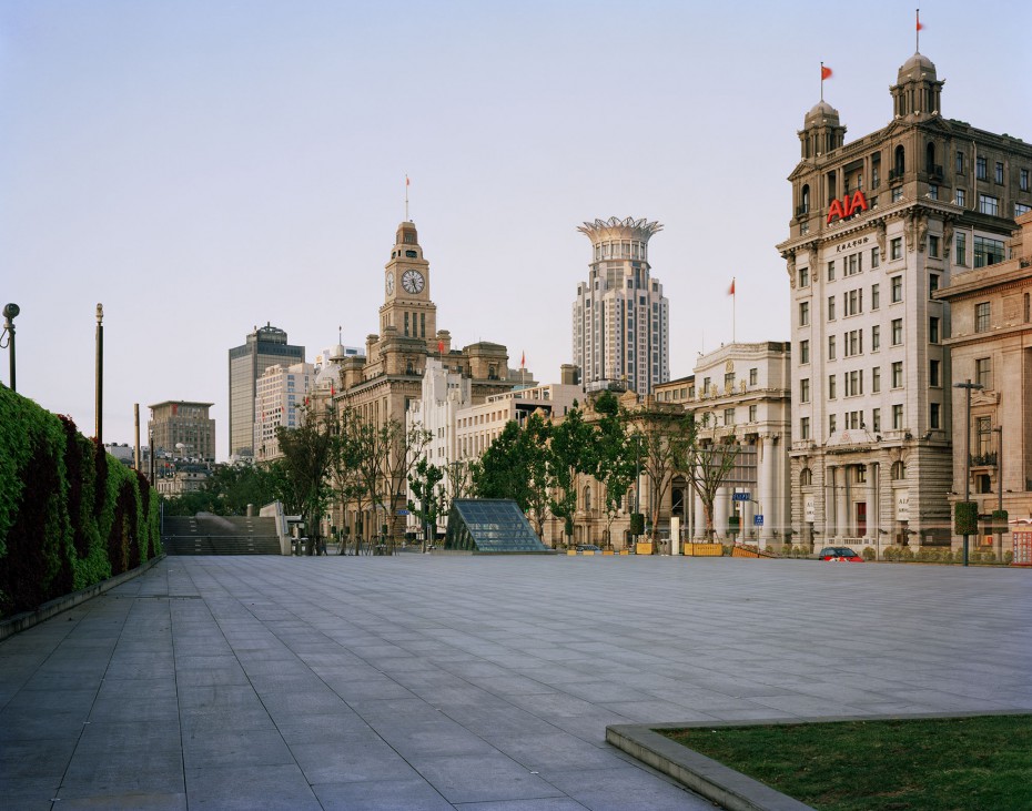
The Golden Waterway is the third series of a larger project which tracks the impact of Anglo-American pre/post world war two histories across the Asia/Pacific region. The title of this project refers to one of the many names of the Yangtze River, the longest river in Asia which flows eastward across southwest, central and eastern China before finally emptying into the East China Sea at Shanghai. More specifically, The Golden Waterway alludes to the socio-cultural, ecological, economic, historical, industrial and political diversity occurring all along this river, specifically Shanghai. By the early-twentieth century Shanghai had become a point for commerce between eastern and western continents, as well as a multinational site of financial prosperity. This financial drive was the result of predominantly British and American nationals who united forces to create the Shanghai International Settlement: the primary aim was to maintain open trade and access to resources, as well as self-governance. The Shanghai International Settlement⎯now known as ‘The Bund’⎯was situated along Zhongshan road, which formed the traditional city boundary of Shanghai; beside this road flows the Huangpu River, a tributary of the Yangtze River, which now divides the old city from the new. This settlement, with its’ ostentatious displays of wealth and grand colonial architecture, served to dominate much of Shanghai during the early-twentieth century until Japanese occupation, which effectively put an end to Chinese-based colonial powers.
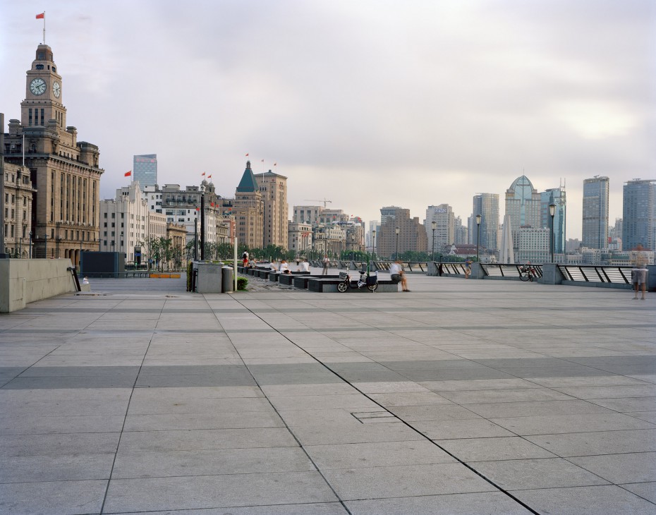
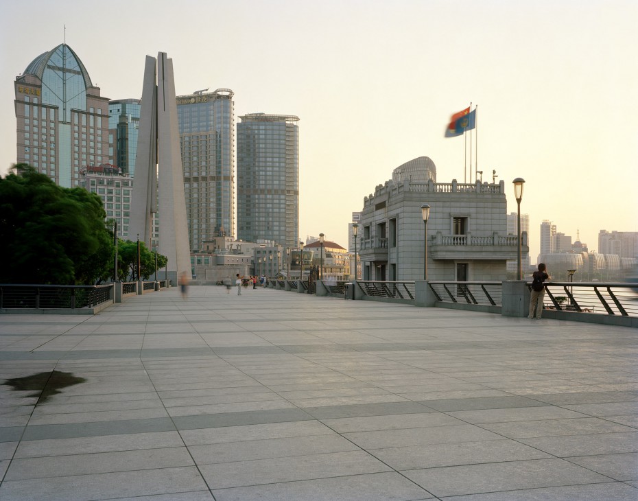
Post Japanese rule, ‘The Bund’s’ focus shifted away from finance and towards housing government institutions, which were indicative of China’s new communist regimes. Much of ‘The Bund’s’ former colonial grandeur (ie: architecture, monuments, promenades, parks) was left to deteriorate during this era, and it wasn’t until the 1990’s years of economic reform that this site again became active. To cope with the resulting industrial boom, this prime location’s roads were widened to make room for increased traffic flow and ‘The Bund’ was also heralded as nationally significant to Shanghai’s history, thereby making it a key tourist destination. To capitalise on this the local government initiated a massive restoration project (2008) involving the demolition of an elevated expressway, redirecting traffic underground, and developing parklands which run alongside the riverside walkways: ‘The Bund’ was reopened to the public in 2010. This newly restored site showcases a mix of the city’s nineteenth century Anglo-American colonisation, Imperial Japanese occupation, as well as more recent socialist ideologies: across the Huangpu River, in clear view, sits Shanghai’s gleaming new ultra-modern financial district. Accordingly, ‘The Bund’ offers a merging of conflicting ideologies (ie: socialism, capitalism, colonialism) which can be evidenced through its’ architecture and urban planning, as well as a whole host of socio-cultural, historical and political infrastructure which all contribute to a sense of understanding, experience and knowledge of place.
As a visual arts project, The Golden Waterway uses this infrastructure to help frame a sustained photographic investigation into ‘The Bund’ including the surrounding walkways, parks and diverse colonial architecture. Accordingly, The Golden Waterway seeks to explore the disparity between the uniquely subjective experiences of being in such historically loaded public sites. The core ideas of this project involve an investigation into how socio-cultural historical narratives are preserved and then re-enacted through public space and its’ photographic representation. The aim here is not to ‘tell the stories’ of this country’s experiences, but rather to look at how specific cities, such as Shanghai, acknowledge their histories within public sites.
Series Information
- Year: 2011
- Dimension: all prints 1000x800mm
- Medium: Photography
